Where Can You Go When the State Is on Fire?
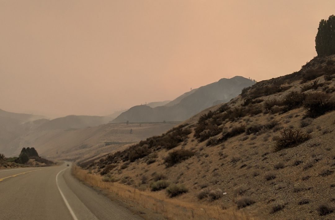
Smoke fills the sky near Lake Chelan on Labor Day.
Image: Allison Williams
This can't be news to anyone: Washington state is besieged by wildfires. The blazes that deposit smoke into Elliott Bay aren't always local; wind patterns push haze all the way from California and British Columbia. But as late summer becomes increasingly known as fire season, making recreation plans requires a little extra planning. Here's how to weekend during wildfires in Washington.
Consider Staying Home
You see those big strong walls and heavy glass windowpanes that make up your dwelling? They're doing major work keeping harmful smoke from your lungs. As bad as breathing this polluted air can be—causing irritation, worsening asthma effects—the Washington Department of Health notes that "early evidence indicates wildfire smoke exposures can make people more susceptible to respiratory infections, likely including COVID-19." (Ah, the additive properties of modern day crises.) So a camping trip might be a bad idea.
Find the Flames
The fire map updated by Portland based Northwest Interagency Coordination Center shows the boundaries of the largest conflagrations and has daily updates from the governmental agencies trying to manage the blazes. (There's also a giant glossary of wildland fire terms, for those who want to identify a passive crown fire or learn the technical definition of containment.) Don't forget that this group only logs fires sized over 100 acres, meaning other significant burns exist. The crazy unpredictability of fire movement means the refresh button is your friend.
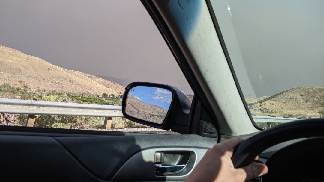
Smoke from the Cold Springs Canyon fire in 2020.
Image: Allison Williams
Assess the Atmosphere
Now you know where the fires are, but everyone knows that flames aren't the only problem. AirNow reports the Air Quality Index in a given location, which ranges from green (little or no pollution) to maroon (an emergency health warning). The WaSmoke blog collects local information, like the EPA Smoke and Fire Map, which can be used to scout out areas with better air (though, uh, pickings can slim at times). It's a quick way to see that, for instance, the Pacific Coast may sound breezy and clear in theory, but the beach air quality readings can be on par with those in Seattle.
Check the Roads
Highway closures due to firefighting efforts can occur swiftly, and the best way to keep up is the surprisingly personable @WSDOT twitter account. This main feed retweets pertinent info from other good WSDOT accounts (like @WSDOT_East and @WSDOT_Traffic) and has a strong GIF game.
Heading to Oregon? Tripcheck logs the many, many highway shutdowns there. Forest Service road closures can be harder to find (check the Olympic, Mount Baker-Snoqualmie, or Okanogan-Wenatchee FS pages), but state park closures are collected in one place.
Plan Accordingly
Road tripping could mean getting stuck at a highway closure or in a spot without power. And if you're camping—we don't have to tell you that campfires are absolutely verboten during burn bans, do we? Like, legally.