Hike and Bike: Mount St. Helens
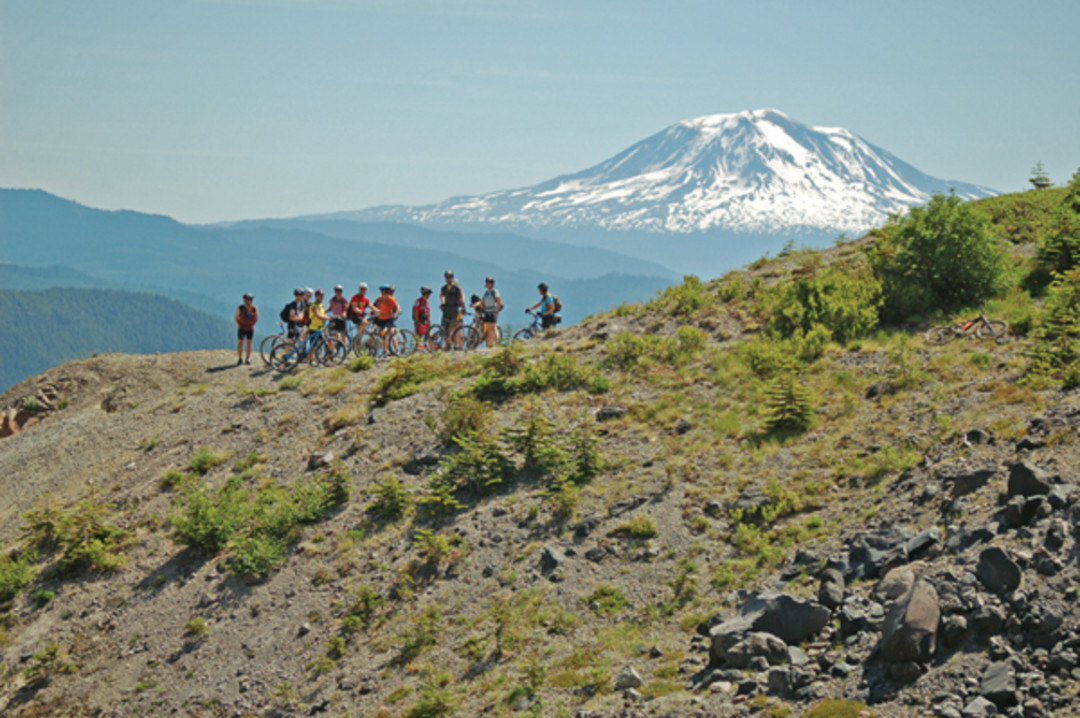
Image: David A. Anderson
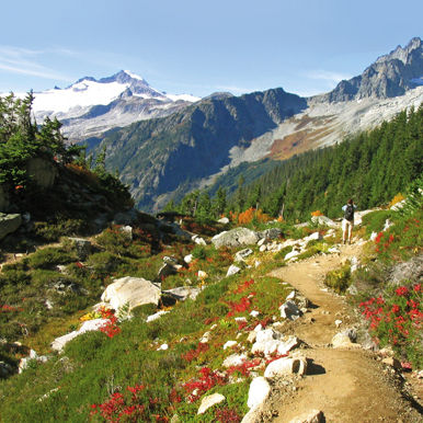
Ape Canyon

DIFFICULT Ever wonder what it’s like to cross the moon? We’re guessing it’s a bit like this (minus gravity). More than 17 miles of single-track cut through the blast zone, following lahars (mud and rock flow) and slicing through volcanic ash. Start with a steep 1,400-foot climb past red cedars and Douglas firs that survived the eruption, and level out onto the Plains of Abraham, a ridge where the trail goes soft and the views turn desolate. Ape Canyon looms below, while a face-smacking view of Mount St. Helens reminds you who’s in charge. INSIDER TIP Bring the bike with the good suspension—lots of gravel roads and dried creek beds to cross. —Laura Dannen
Round Trip 21 miles. Duration 4–6 hours. Distance from Downtown 140 miles. Permits and Passes Northwest Forest Pass. Map Green Trails no. 364 Mt St Helens. Find it.
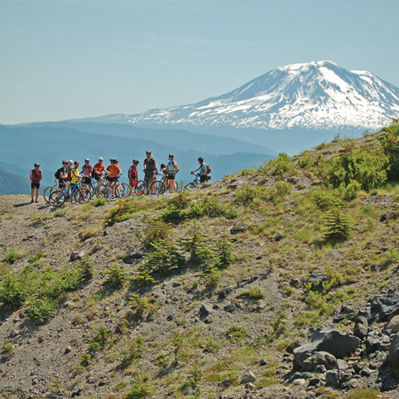
Lewis River
MODERATE This smooth single-track is as fast as the river it’s tracing, cutting a path through a scenic stretch of old-growth forest. Huff and puff your way up and down small, steep hills to the northern end, where waterfall views and swimming holes await. —LD
Round Trip Up to 26 miles. Duration 4–5 hours. Distance from Downtown 160 miles. Permits and Passes None. Map Green Trails no. 365 Lone Butte. Find it.
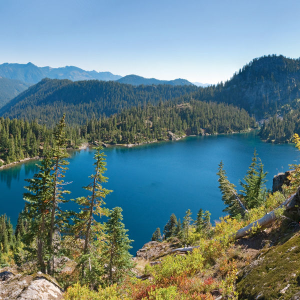
Norway Pass

Round Trip 4.5 miles. Duration 3 hours. Distance from Downtown 140 miles. Permits and Passes Northwest Forest Pass. Map Green Trails no. 332 Spirit Lake. Find it.