Trail of the Month: Silver Star Mountain
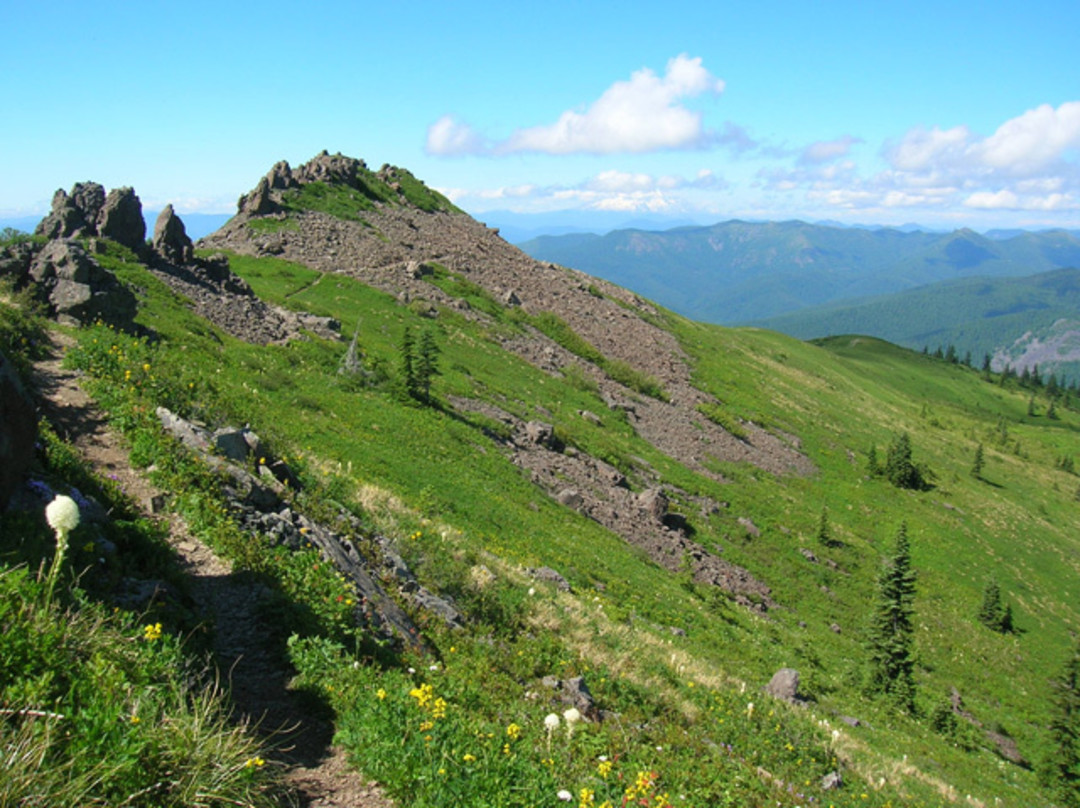
Image: Craig Romano
Difficulty Difficult
Distance 5 miles round trip
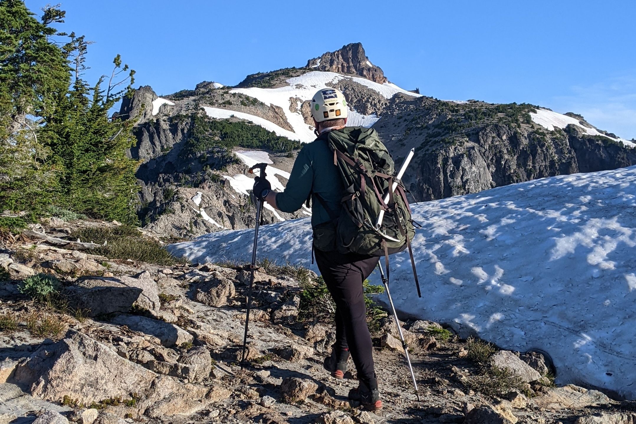
The best view of Mounts Hood, Rainier, Adams, and St. Helens is atop Silver Star Mountain near Vancouver, Washington. For the shortest and most popular route to the former fire-lookout site, follow Ed’s Trail through bear grass and check out the backdrop of snowy volcanoes. At 0.5 miles, veer left to navigate above, around, and beneath ledges and knobs. At 1.5 miles, pass through the trail’s highlight landmark, a rock arch that resembles two robots butting heads.
After a short but steep section of trail requiring the use of your hands, meet up with the path at 2.1 miles. Head left, soon meeting a junction. Head left again, reaching Silver Star’s 4,390-foot open summit in 0.3 miles. The views of the volcanoes are impressive, as is the plethora of minor but equally beautiful peaks and ridges. When it’s time to return, retrace your steps and follow an old road bed through the meadows. It’s a much easier descent than returning via Ed’s
Watch for Rock pits near the summit were once used by young Native Americans for vision quests.
Getting there Take Exit 11 on I-5 and follow WA 502 east to Battle Ground. Head north 5.6 miles on WA 503 and turn right onto Rock Creek Rd, which becomes Lucia Falls Rd. Continue east for 8.4 miles. Turn right onto Sunset Falls Rd and follow it for 7.3 miles to Sunset Campground. Turn right onto rough and bumpy Forest Service Rd 41 for 3.5 miles. Turn right onto Forest Service Rd 4109 and after 1.5 miles bear left, continuing for 2.7 miles to the trailhead.
Craig Romano is the author of eight hiking books, including Day Hiking Olympic Peninsula (Mountaineers Books).