Washington’s Weirdest Weather

Image: Kati Lacker
The weather outside our doors isn't just unpredictable; sometimes it's downright bonkers. Even when we break down the Seattle microclimates to better understand the rain and sunshine, we are still faced with strange events year-round. These are some of Washington's most unusual weather events.
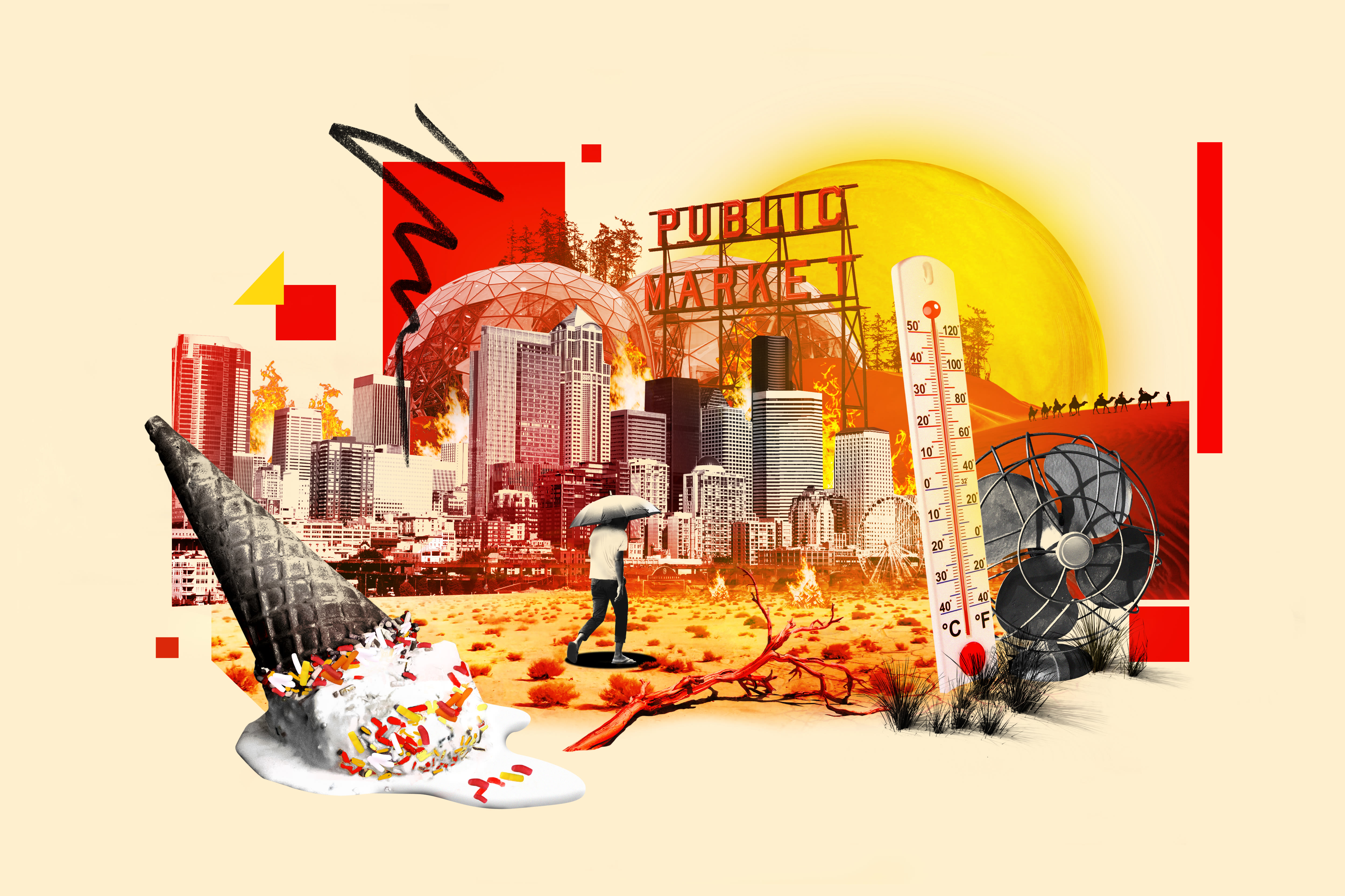
Heat Dome
June 2021
Seattle reached 108 degrees on June 28, 2021, shattering its all-time high by 5 degrees. The reading was higher than the hottest temperature ever observed in Atlanta; Washington, DC; or New York City. Seattle also broke the 100-degree mark three days in a row during the heat event, after topping 100 only three times total in the past 100 years.
Ash Fall
1980–present
It’s rare, but possible, for Seattle to rain ash, thanks to the presence of five active major volcanoes in Washington state; significant amounts fell after Mount St. Helens erupted in 1980, but there are still flurries picked up by winds on occasion. When forest fires hit, ash can be deposited across the state.

Image: Kati Lacker
Nonstop Rain
winter of 1998–99
The winter of 1998–99 was one of Seattle’s dreariest in memory, with measurable rain falling on 90 of 120 days. This gave rise to the myth that Seattle once saw 90 days of rain in a row “back in the day.” The all-time record for consecutive rainy days is actually much shorter: 33 straight in January and February 1953.
Inauguration Day Windstorm
January 20, 1993
Major windstorms strike the Seattle area roughly once a decade, with maximum wind speeds equivalent to what’s seen in some East Coast hurricanes. Examples include the infamous January 20, 1993, event, when winds peaked at 88 mph at the top of the UW’s atmospheric sciences building. However, it didn’t quite hit the levels of the Columbus Day Storm of 1962, which brought a gust of 100 mph to Renton.

Image: Kati Lacker
Thundersnow
Various
When the conditions are right (rarely!), Seattle can get rocked by thundersnow, some of the most badass-sounding weather on the planet. Notable instances came in December 1990, March 2002, and December 2008. The 1990 occurrence was part of a surprise snowstorm caused by the Puget Sound Convergence Zone, which dumped a foot of snow in the heart of the city at midday. The crippling snowfall stranded drivers on highways and forced hundreds of schoolchildren to spend the night in their classrooms.
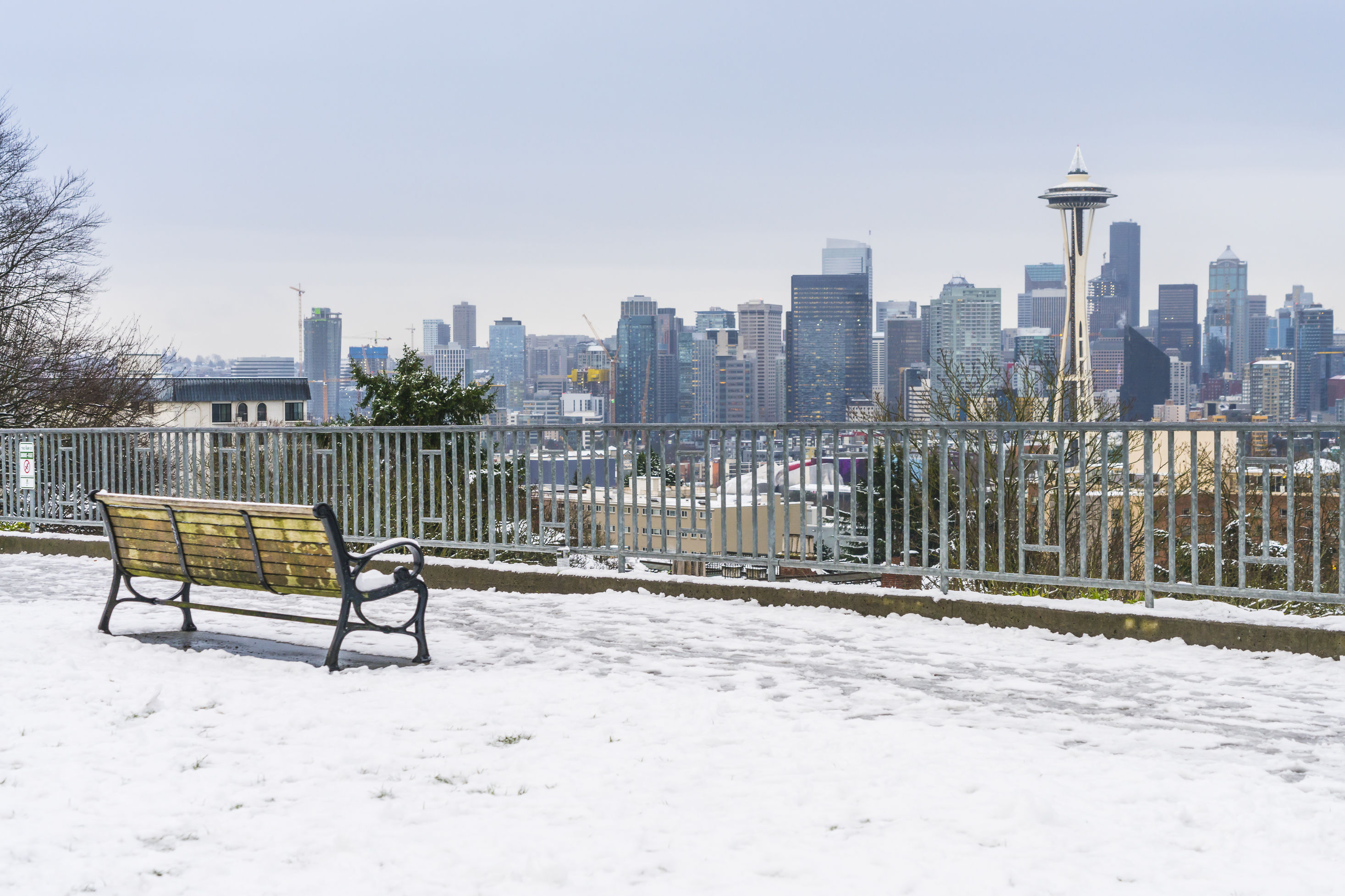
Snow and Ice Storm
December 1996
NOAA decided to pause collecting snowfall data for Seattle right before 1 to 2 feet of snow fell on the city over a four-day stretch that started the day after Christmas—the city’s snowiest month since the 1960s. A National Weather Service office in North Seattle had continued measuring on its own, recording 22 inches; the event ended with a bang south and east of Seattle, as warm Pacific air collided with cold air on December 29, unleashing a rare and powerful ice storm.